Location
Castelo de Paiva (Municipality)
Investment
1,201,579.30 €
2007 - 2008

Recuperação Ambiental da Área Mineira de Terramonte

Concluded

The former mining area of Terramonte is located in the Merger of Parishes of Raiva, Pedorido and Paraíso (Raiva) belonging to the municipality of Castelo de Paiva and district of Aveiro.

The earliest works at this mine date back to the nineteenth century, and reached, at the time, depths of around 50 metres. However, its period of greatest development was the second half of the twentieth century, through MITEL – Minas de Terramonte Lda, the company that presented the first mining plan to the North Mining Survey District in August 1965 and went on to form one of the best equipped Portuguese mines (Marsella, 1966). The mining of lead and zinc at this underground mine ceased in 1972, when it was left abandoned.

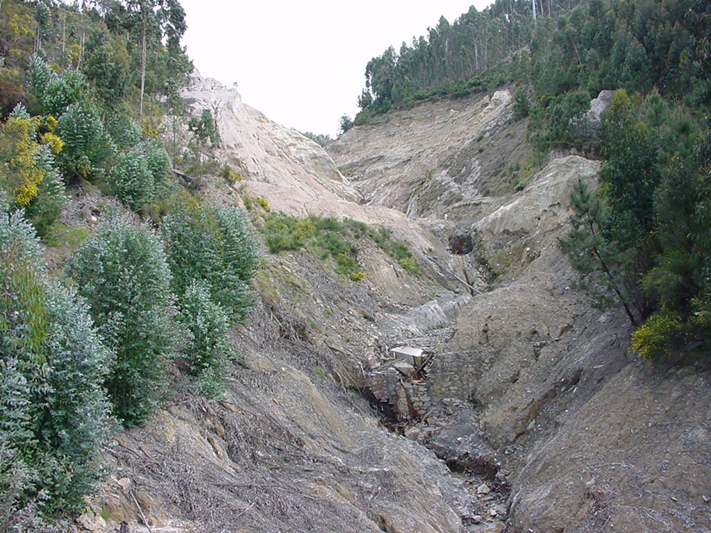
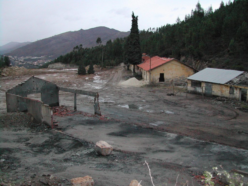
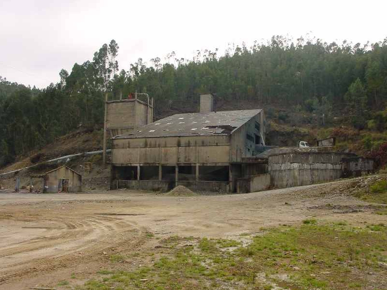
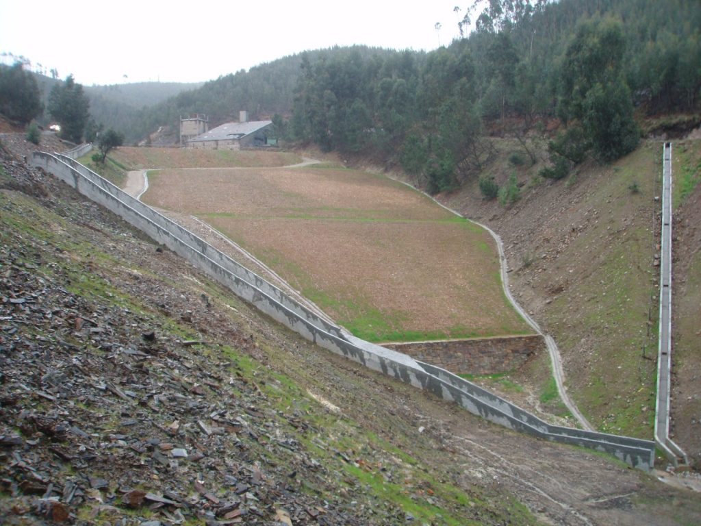
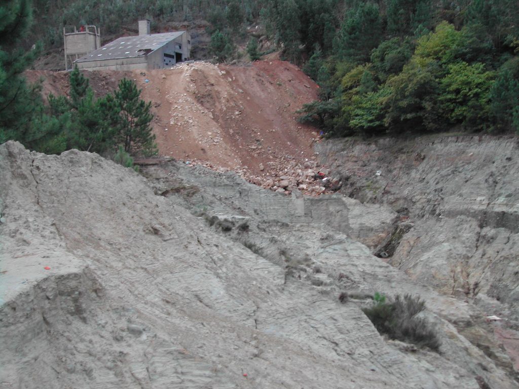
This environmental remediation work consisted of two phases with the following main activities:

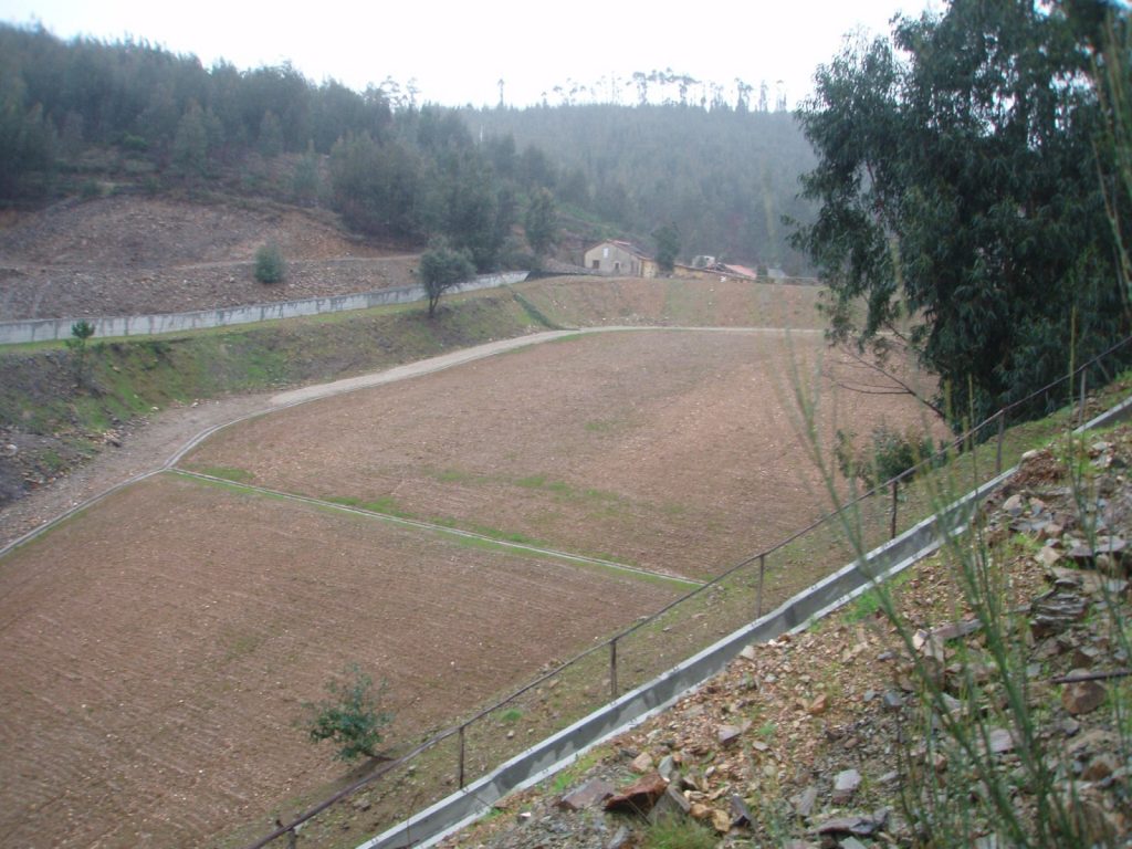
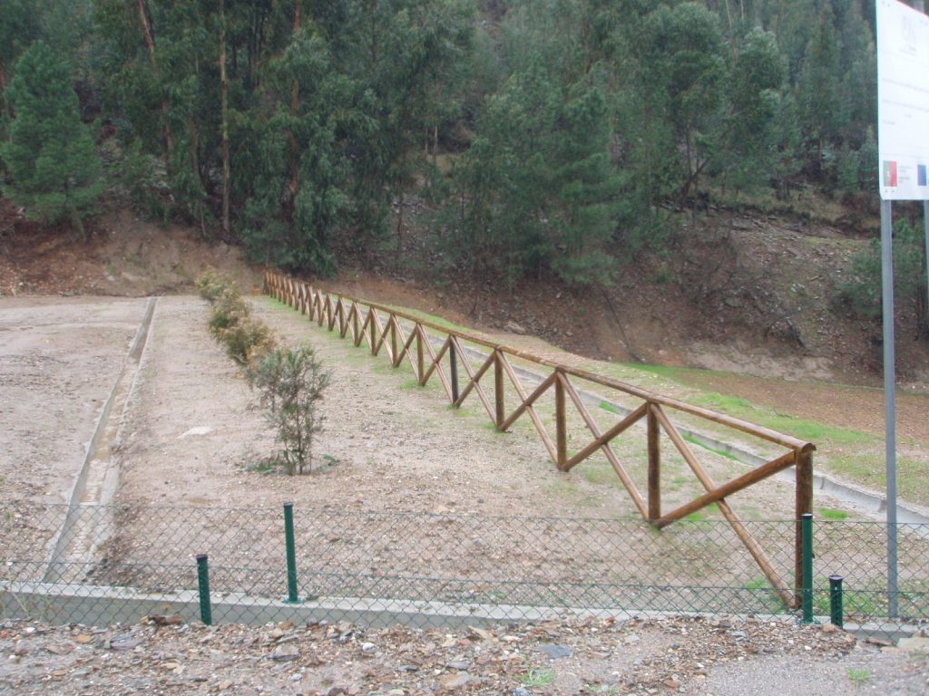
  • Earthworks, reprofiling/forming of the entire intervention area;
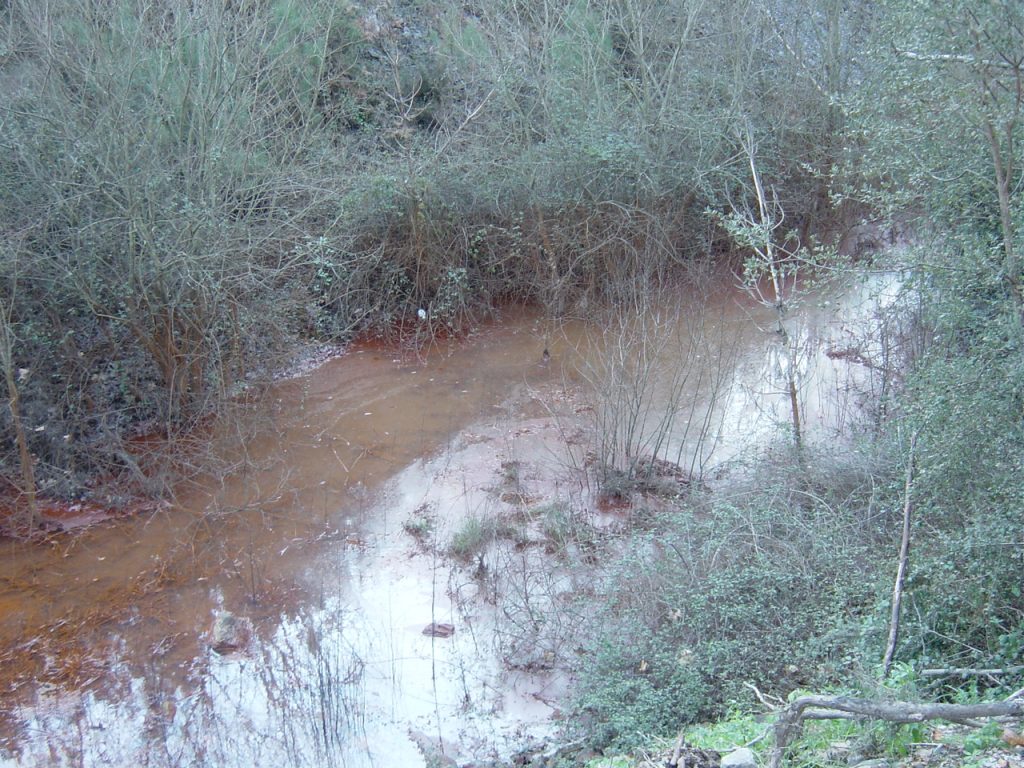
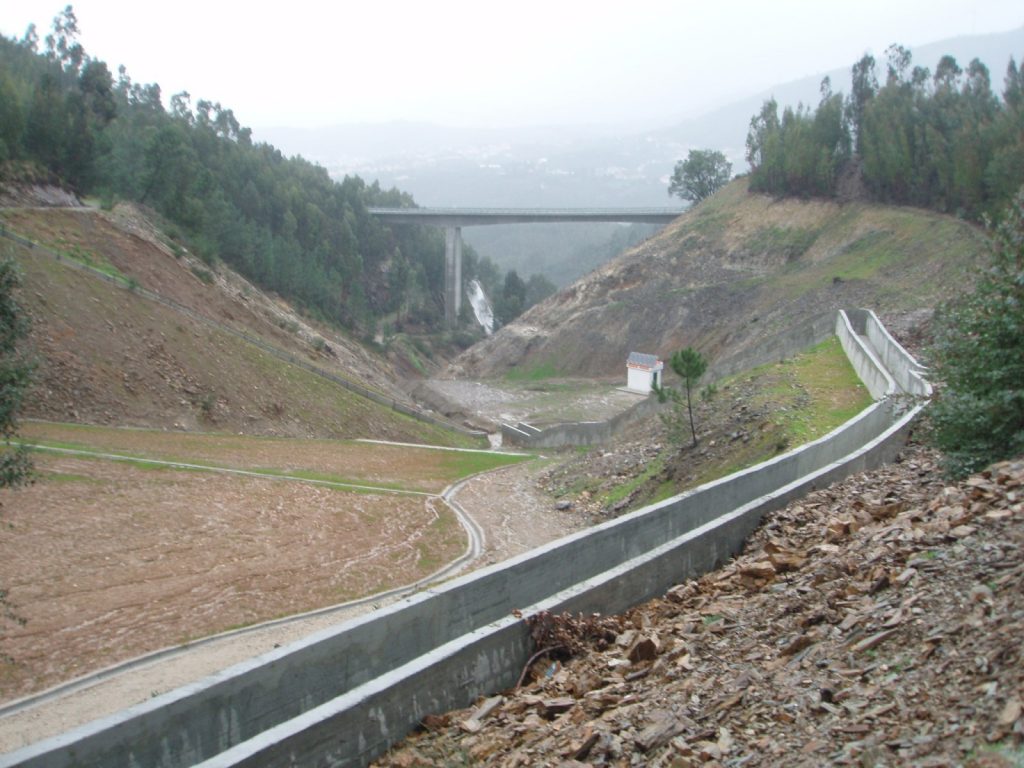
  • Construction of trenches around the spoil heaps to collect clean water from the Terramonte stream;
  • Construction of ditches for drainage of the slope pit and dissipation;
  • Surface treatment of formed spoil heaps, with the placement of a waterproofing complex, a protective layer for the dump, topsoil and landscaping;
  • Installation of a wastewater monitoring and control system with continuous data processing.

The two contracts were awarded to Construtora Abrantina, S.A. for 1,201,579.30 and had a total duration of 92 days.

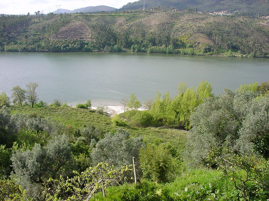
The investment was co-financed by the Northern Regional Operational Programme under the Third Community Support Framework, enabling a reduction in the levels of contamination in the Terramonte and Castanheira streams and the Douro river, an increase in the safety and stability of embankments, improved water quality in the medium to long term and improvements in the local landscape.

  • Nom du fichier : DSCN0791.JPG Taille du fichier : 717.7 Ko (734884 octets) Date : 2002/09/13 18:19:43 Taille de l'image : 2048 x 1536 pixels Résolution : 300 x 300 ppp Profondeur en bits : 8 bits/canal Attribut de protection : Désactivé Attribut Masqué : Désactivé ID de l'appareil : N/A Appareil : E885 Mode de qualité : NORMAL Mode de mesure : Multizones Mode d'exposition : Programme Auto Speed Light : Oui Distance Focale : 8 mm Vitesse d'obturation : 1/60 seconde Ouverture : F2.8 Correction d'exposition : 0 IL Balance des blancs : Auto Objectif : Intégré Mode Synchro-Flash : Premier Rideau Différence d'exposition : N/A Programme Décalable : N/A Sensibilité : Auto Renforcement de la netteté : Auto Type d'image : Couleur Mode Couleur : N/A Saturation : N/A Contrôle Saturation : 0 Normal Compensation des tons : Auto Latitude (GPS) : N/A Longitude (GPS) : N/A Altitude (GPS) : N/A

  • Nom du fichier : DSCN0784.JPG Taille du fichier : 629.5 Ko (644650 octets) Date : 2002/09/13 18:01:20 Taille de l'image : 2048 x 1536 pixels Résolution : 300 x 300 ppp Profondeur en bits : 8 bits/canal Attribut de protection : Désactivé Attribut Masqué : Désactivé ID de l'appareil : N/A Appareil : E885 Mode de qualité : NORMAL Mode de mesure : Multizones Mode d'exposition : Programme Auto Speed Light : Oui Distance Focale : 10.1 mm Vitesse d'obturation : 1/30 seconde Ouverture : F3.1 Correction d'exposition : 0 IL Balance des blancs : Auto Objectif : Intégré Mode Synchro-Flash : Premier Rideau Différence d'exposition : N/A Programme Décalable : N/A Sensibilité : Auto Renforcement de la netteté : Auto Type d'image : Couleur Mode Couleur : N/A Saturation : N/A Contrôle Saturation : 0 Normal Compensation des tons : Auto Latitude (GPS) : N/A Longitude (GPS) : N/A Altitude (GPS) : N/A

Skip to content